

MSFS 2020
+ Applicable Taxes
🚧 2024 NATIVE VERSION IN DEVELOPMENT, NOT AVAILABLE YET. Cost: $2 to update the 2020 version to a 2024 Native version for current owners.
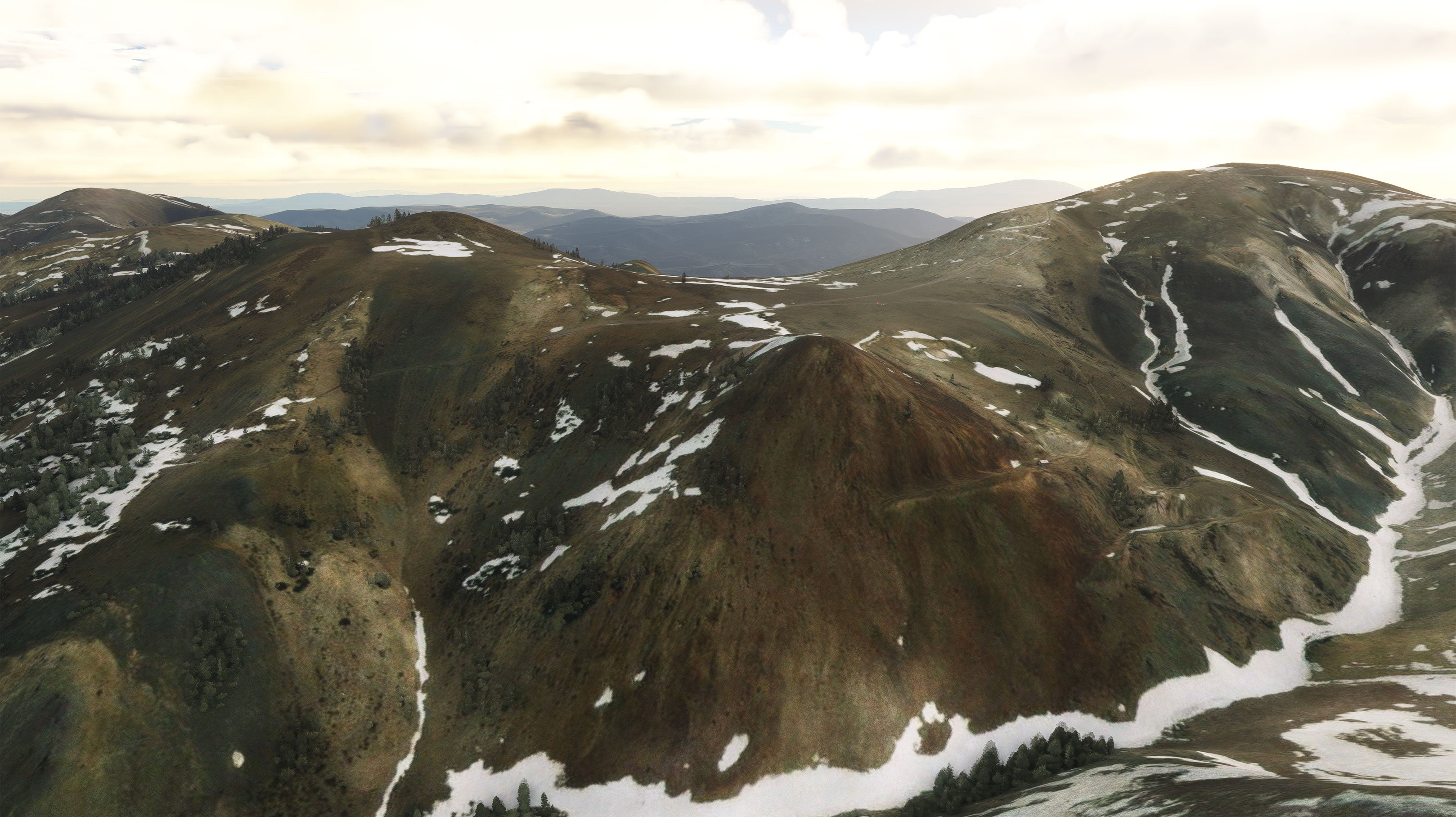
42MW - Mount Patterson Camps (2020)
Three BLM landing areas in Mono County, California, in the Sweetwater Range.
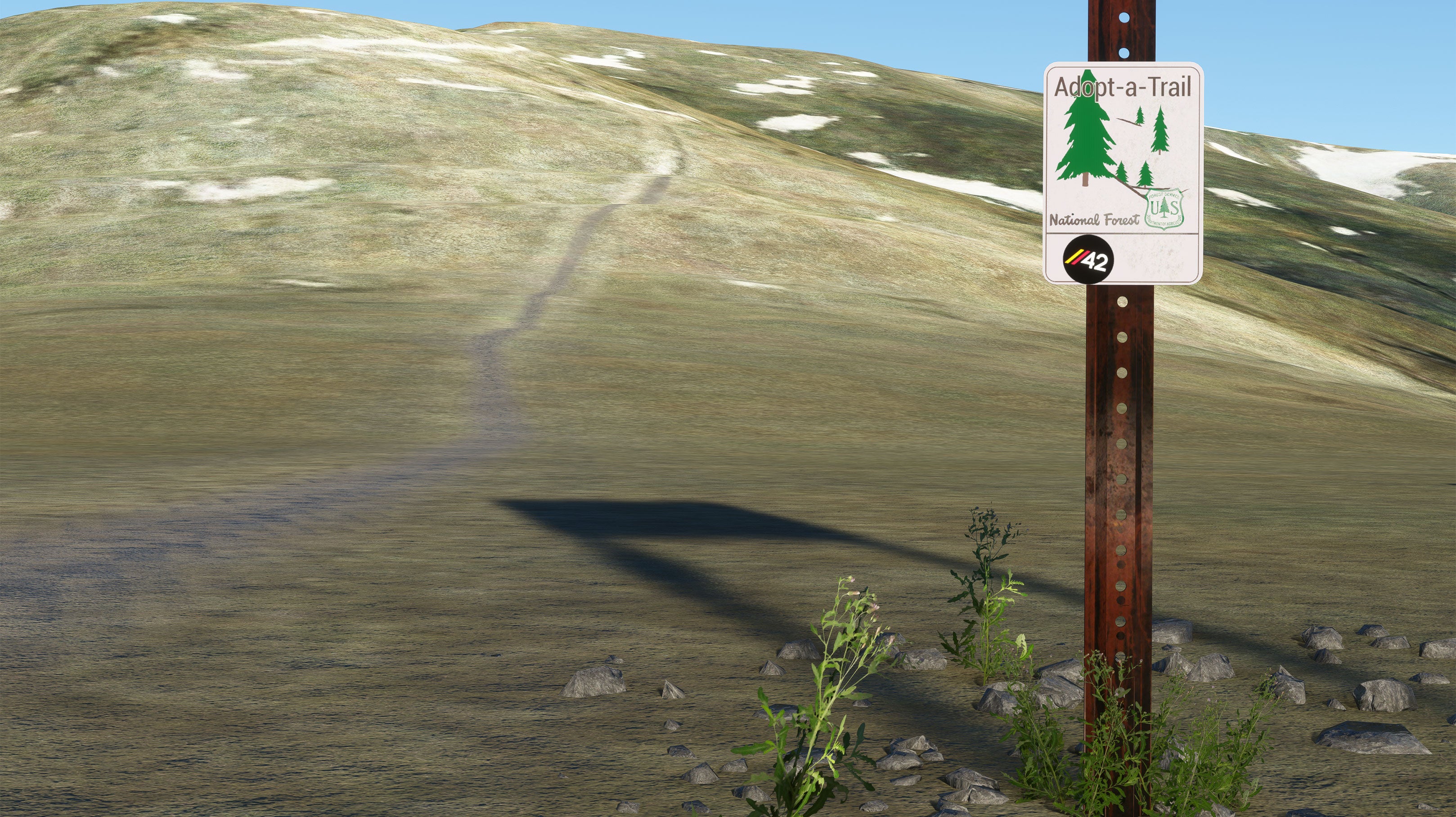
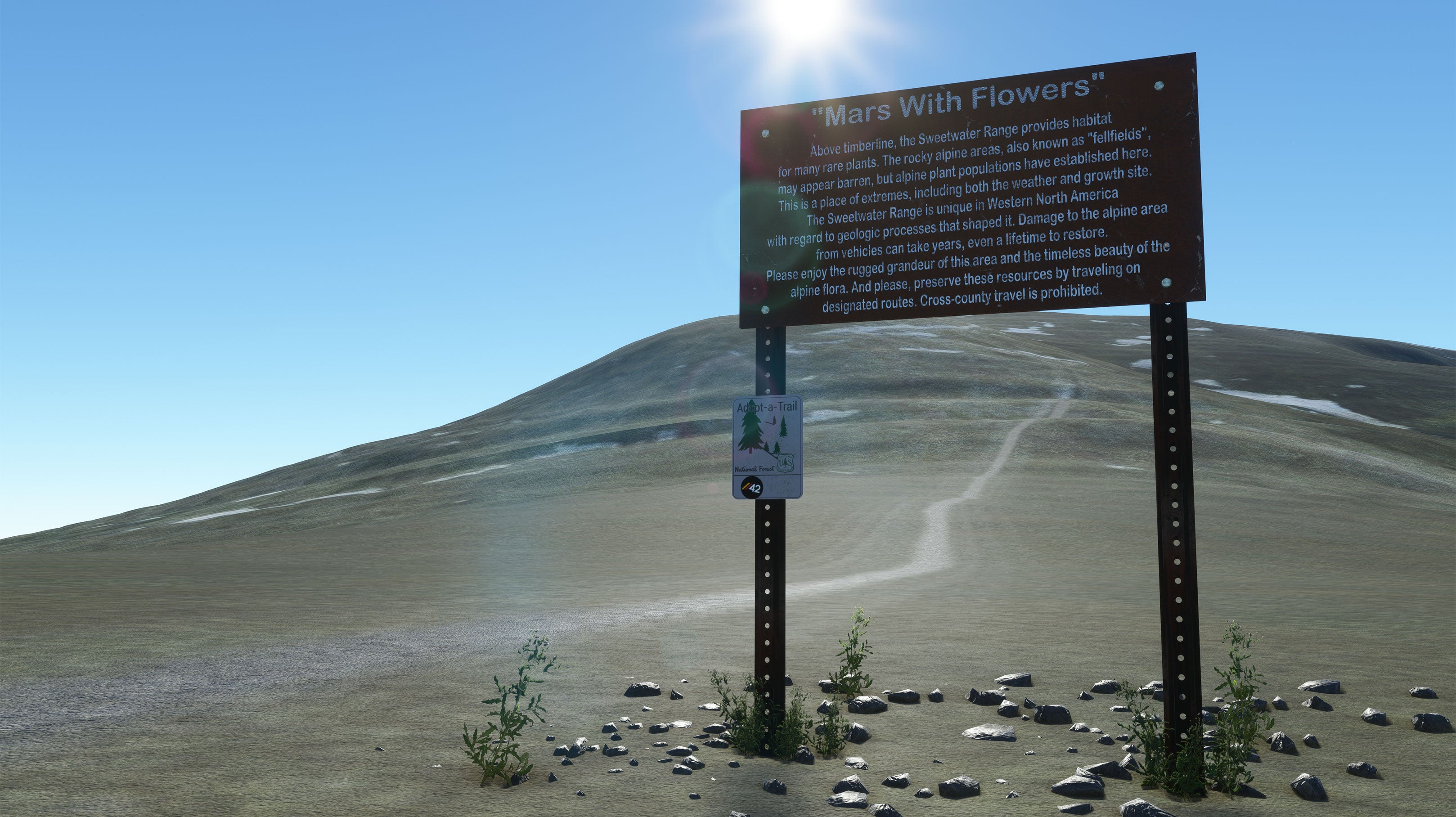
42MW Mars with Flowers
A place of extreme weather and altitude near the Mount Patterson Summit.
- Featured in Trent Palmer's video titled "I landed my plane on an 11,000ft mountain."
- Accurately recreated trailhead marker
- Challenging altitude and weather
- Terraformed region to resemble real-world data.
- Custom ground texturing to resemble real-world data better.
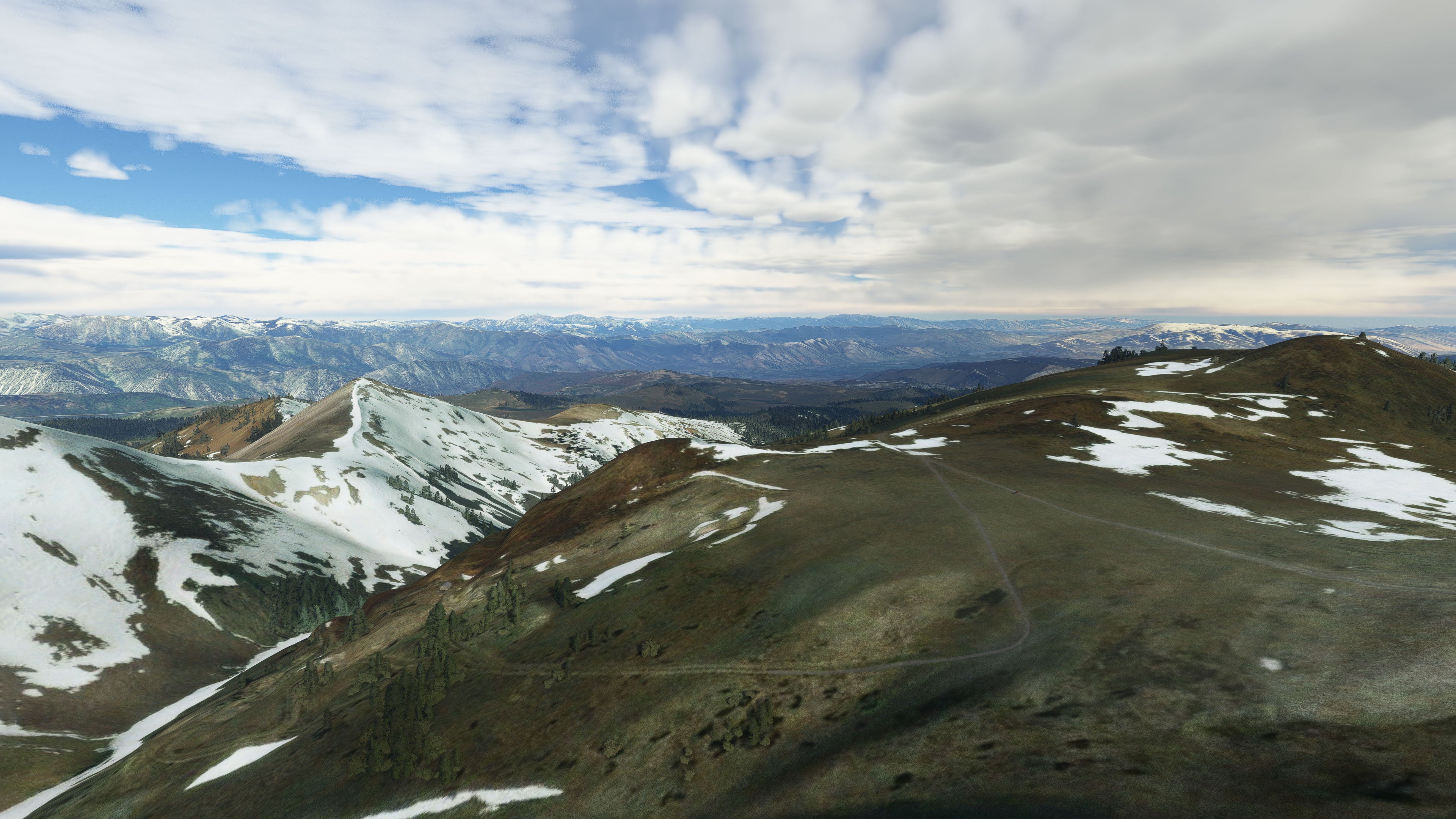
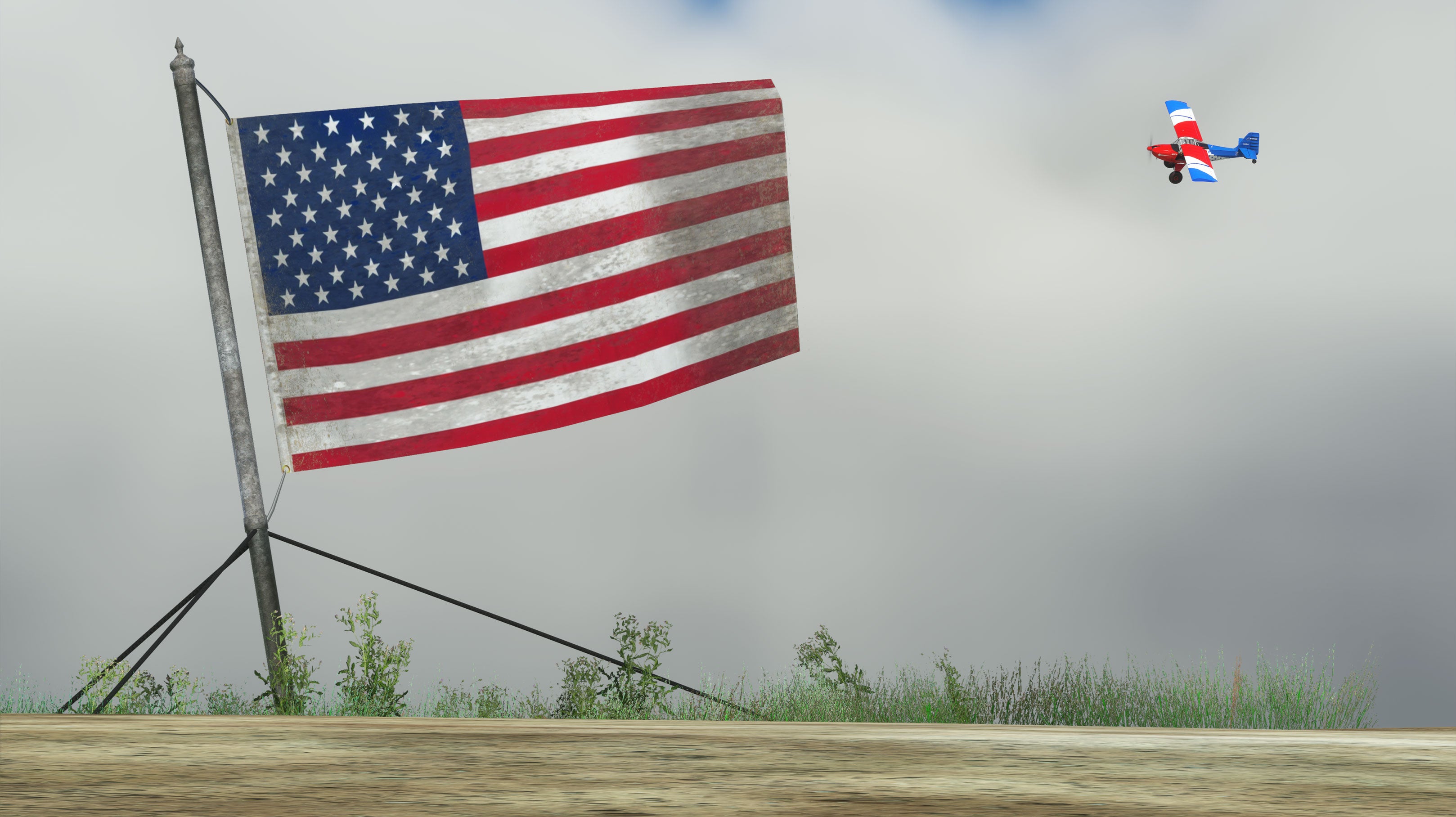
42MP - Mount Patterson Peak
A summit of 11,654 feet in elevation makes it the highest mountain in the Sweetwater range.
- Accurately recreated animated American Flag at peak
- Custom Soundscape includes Flag and hardware in the wind
- Challenging short landing area located at a high altitude
- Terraformed region to resemble real-world data correctly
- An incredible spot to enjoy sunrise/sunset
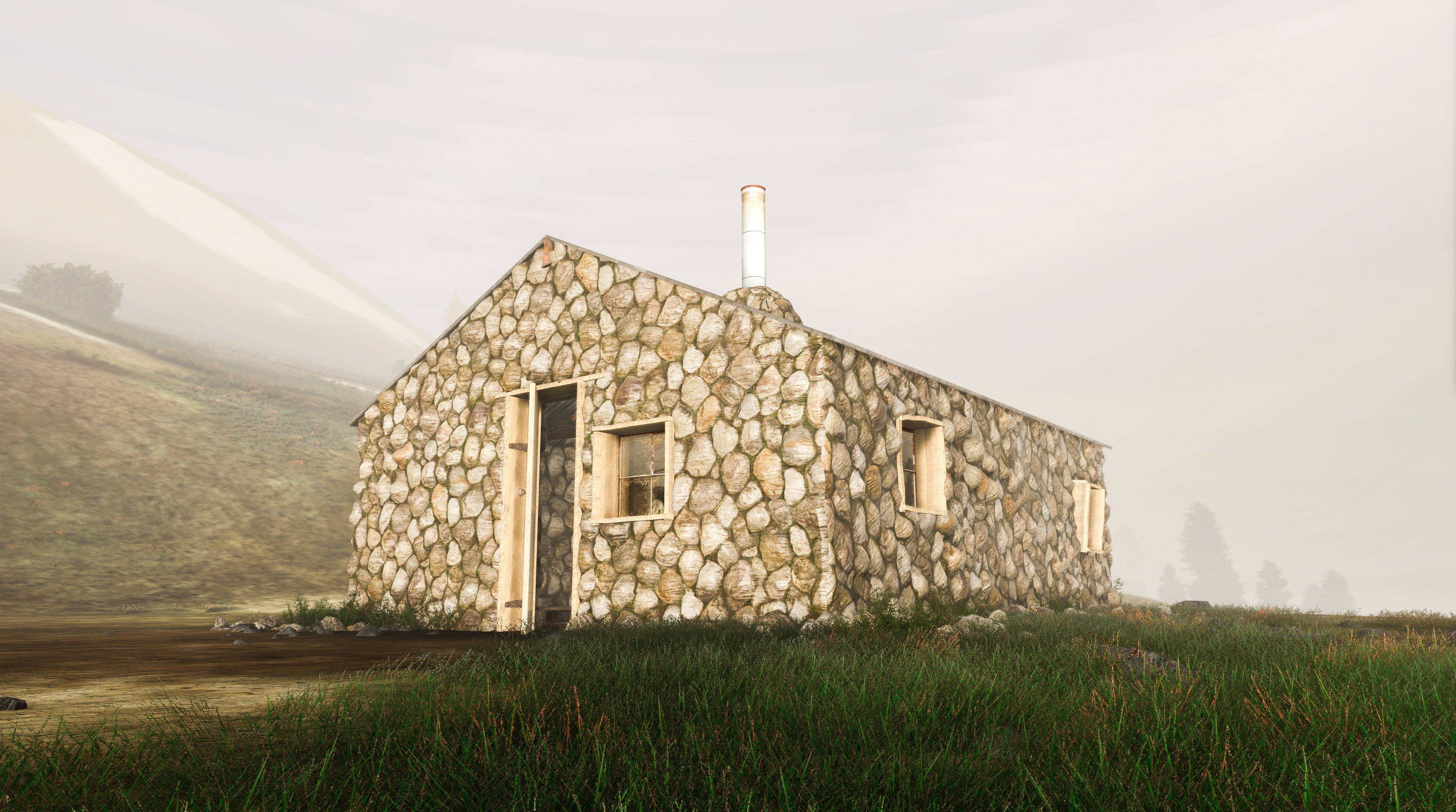
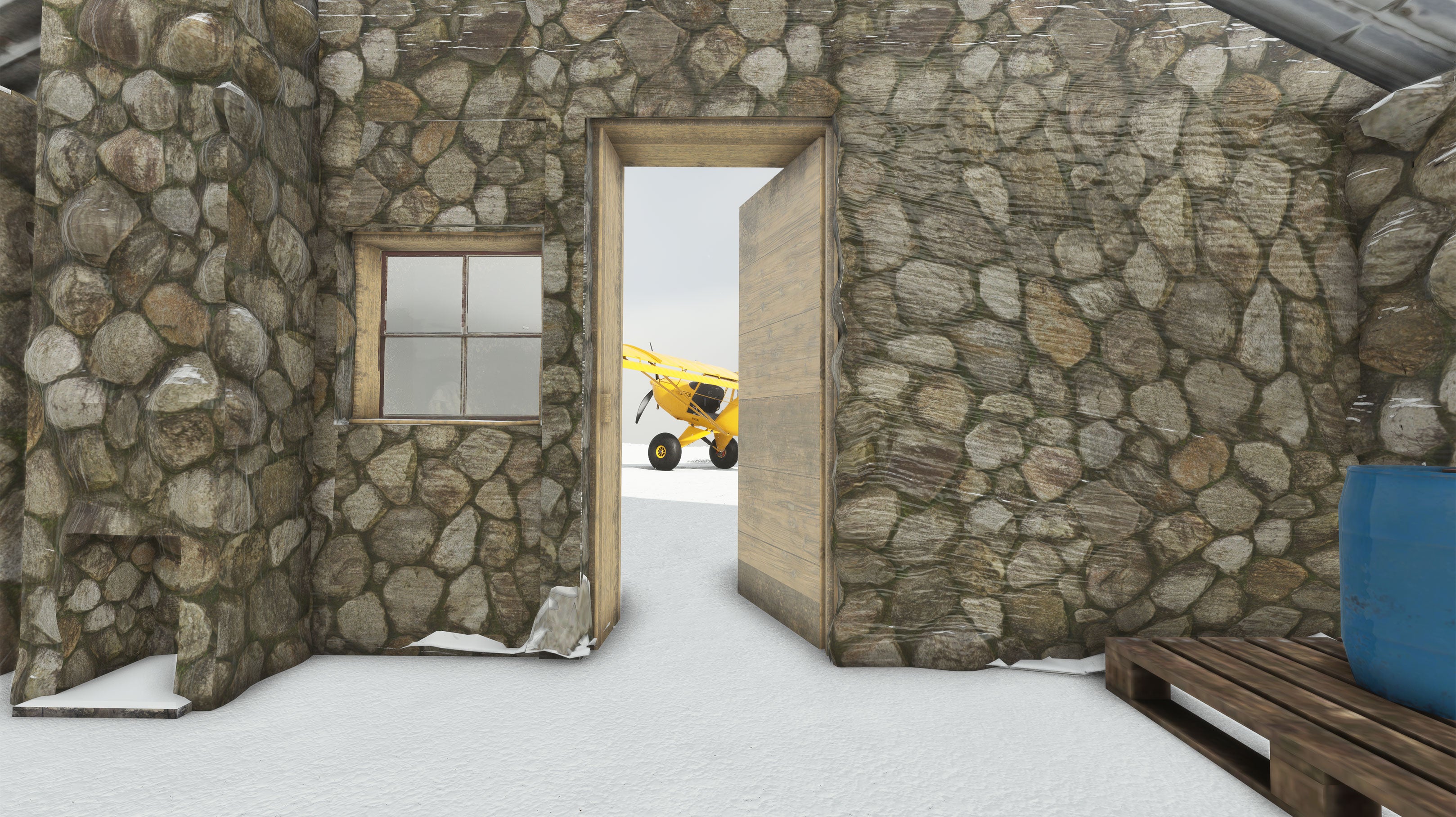
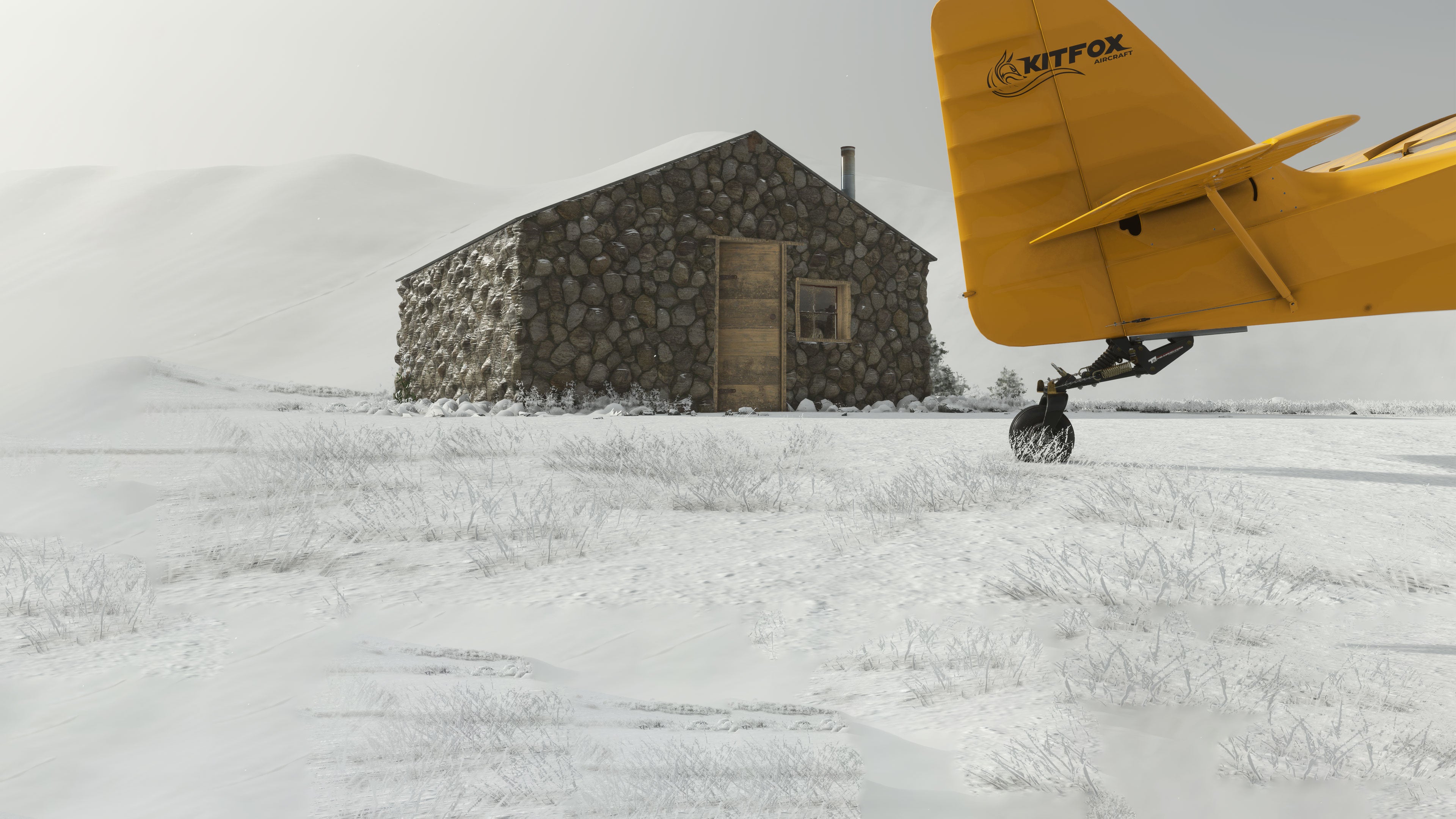
42MM - Montague Mine
Stone Cabin A miner's cabin built from local stone in the 1800s is used for shelter by hikers today.
- Fully recreated stone cabin
- Custom Soundscape includes squeaking door in the wind
- Challenging short landing area located in a valley at a high altitude
- Terraformed region to correctly resemble real-world data
- Custom-modeled interior full of fun surprises
38.436644, -119.305137
Mount Patterson Camps (2020)
Sale price$7.00 USD